Seabed mapping in full swing
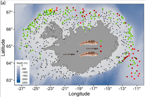
The thirteenth multibeam survey of the Marine and Freshwater Research Institute’s to map the seabed around Iceland in ongoing.
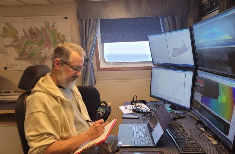
Seabed Mapping project began 9 April, departing from the Westman islands en route to the west of the Reykjanes Ridge, the survey covered Reykjanesgrunn, Faxabanki, and Jökuldjúp. Despite challenging conditions, including strong north-northwest winds, the team managed to obtain satisfactory depth measurements of the seabed, covering an area of approximately 5996 km2 by the time of this report.
18. April